- What to pack and what to leave behind
- Transportation/logistics
- Food and drinks
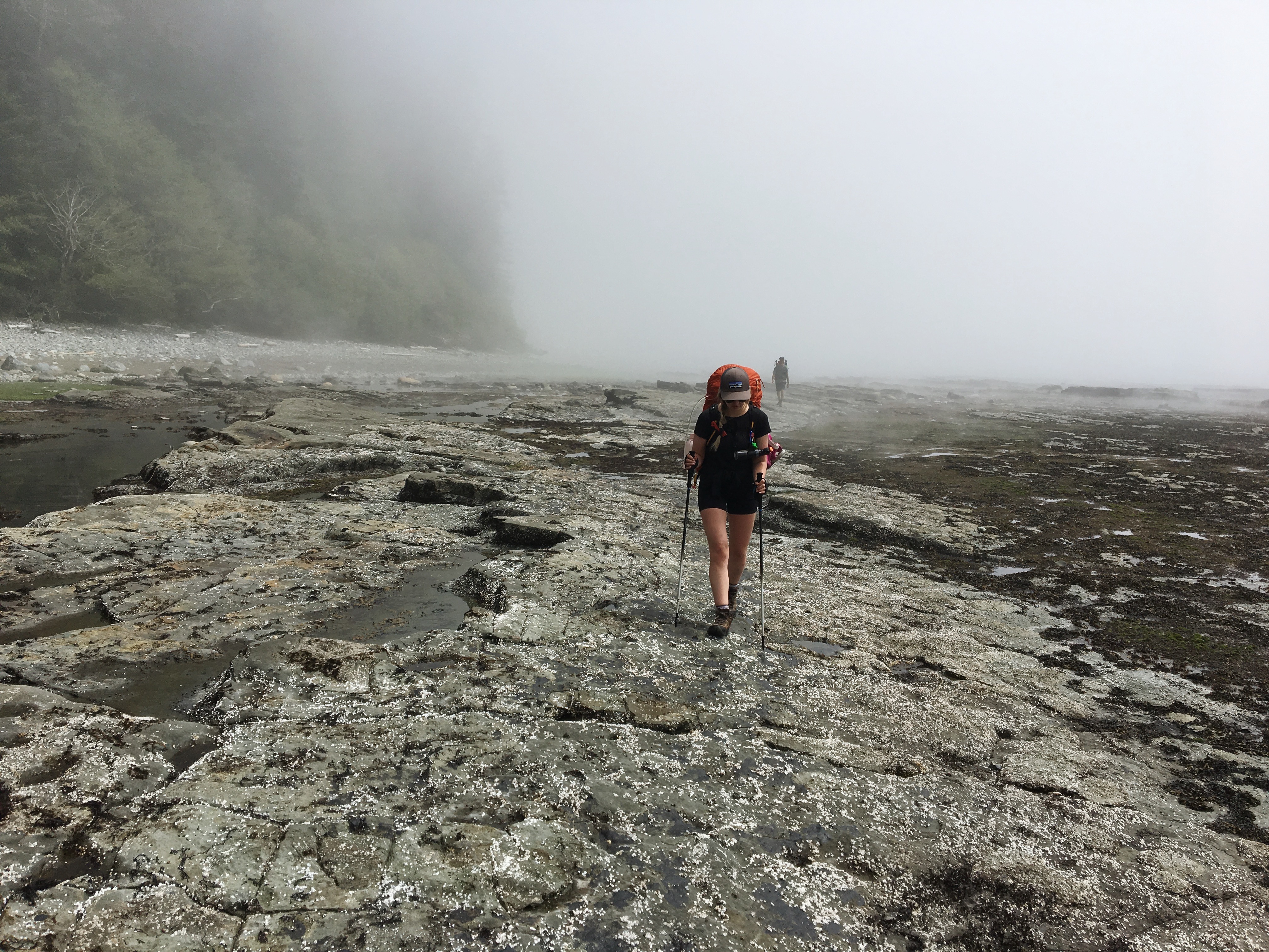
- Six day trail plan
- Campsites


Things I’m happy I packed, what I should have brought, and what I’m glad I didn’t bring.
For a full breakdown of my gear list check out what I pack. These are the items I noted in my journal along the hike, I was mostly happy with my pack but there are a few small changes I would have made.
I’m happy I had..
👍 48L Backpack
Most online resources that I have seen recommend buying no smaller than a 50l pack, with many people seeming to pack 55-65l. Although it was a tighter pack, it forced me to think about everything I was putting in my bag and eliminate things I didn’t need.
👍 Trekking Poles
Wonderful for crossing muddy areas and slippery surfaces. They also improved my posture and reduced swelling to my fingers by keeping them upright.
👍 Gaiters
Even though we lucked out with a very dry week, there were still muddy parts on the trail. They keep mud, rocks, and sand out of your boots and socks. If I knew I was hiking such a dry week again I would consider packing the smaller ankle height version vs. the tall ones because they did get quite warm throughout the day.
👍 Fingerless Gloves
These gloves were easy to wear all day without my hands getting too warm. They were great for climbing ladders and pulling cable cars. They also prevented blisters on my palms from my trekking poles.
👍KT Tape
Amazing. Wonderful. I taped my feet every morning to prevent blisters, this tape stays on very well even after a full day of hiking.
👍Small Camp Towel
Perfect if you decide to go for a swim, need to wipe down your tent in the morning, or wipe the sand off of your feet after crossing a river. I bought a small towel from Lululemon and used it more than I expected I would.
I would have liked…
🤔Closed Camp Shoes
I packed some women’s swift water crocs for my camp shoes because they were lightweight, good in water, and I found them at Value Village. While they would be great in most campsites, on the WCT you are usually camping on sand and rocks. The holes on the sides of my shoes meant I was constantly trying to kick sand and rocks out from under my feet. Next time I would choose something fully closed and easy to slip on.
🤔 Cup/Bowl With A Lid
My collapsible silicone camp mug was easy to pack, but I would have liked a lid to hold heat in while meals were rehydrating, and in the future, if I decide to cold soak meals. The silicone was also frustrating because dirt and grime seem to cling to it.
I’m glad I didn’t pack…
🚫Camp Chair
It was easy to find places to sit. While the ultra lite camp chairs are great, they take up space that I would prefer to fill with chocolate bars.
🚫Tripod/Gorilla Pod
We were moving along so quick that we didn’t even think to stop and set up a tripod. We all took pictures of each other on the go.
🚫Pre-made Hiker/Backpacker Meals
These meals usually don’t taste great (in my opinion), they’re expensive, and they come with a lot of excess packaging. Dehydrating meals, or packing things that are light and easy to rehydrate is the way to go.
Food and Drinks
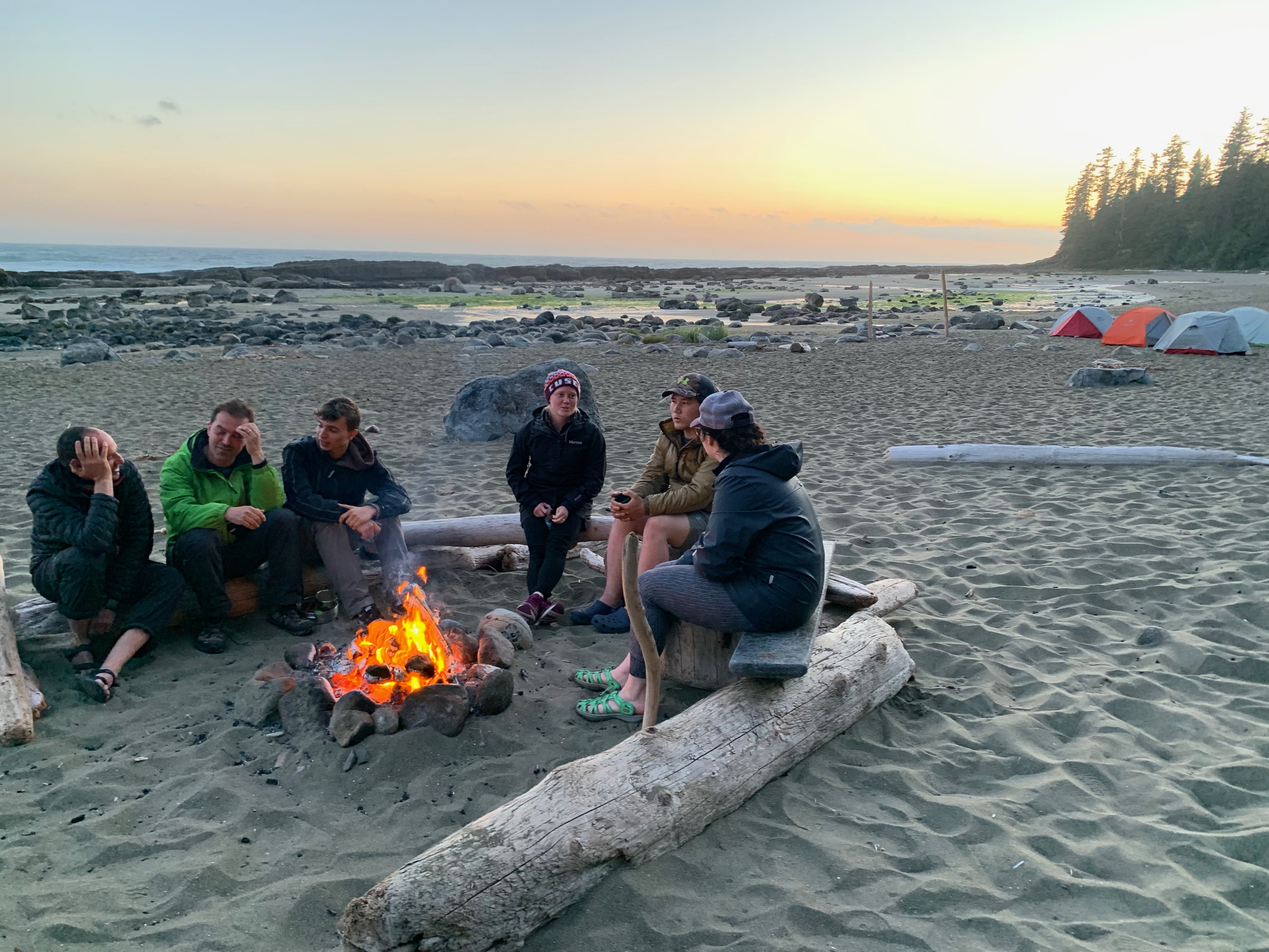
For cooking on the trail we brought a jet boil sumo (this was awesome for three people) and a larger canister of propane. We didn’t cook any food in the jet boil, we heated up water and poured it in to our pre made meals. This made for a lot less mess to clean up afterwards and we didn’t have to worry about storing the jet boil in the already full bear caches. Each of us brought our own large mug and spork.
When it comes to the WCT, dehydrated food is the way to go. We were incredibly lucky to have my friend Lindsay with us. She built a meal plan and dehydrated everything we needed for our trip. The best foods are lightweight and minimal effort, and Lindsay planned meals that only needed to be rehydrated with hot water.
For breakfasts we had oatmeal. To mix it up a little we added things like sugar, cinnamon, raisins, chopped nuts, and chocolate chips. Everything was packed in freezer bags that could withstand the heat of boiling water and it worked out perfectly. I paired my morning oatmeal with an instant coffee and I was set to go every morning.
Lunches were also cold so we didn’t have to stop on the trail and unpack the jet boil. We had trail mix, granola bars, beef jerk, crackers, and fruit leather. On the fourth day we reached the Nitinaht Narrows around lunch time and were able to enjoy some fresh food. It was expensive, but well worth the price in the middle of a long 17km day of hiking.
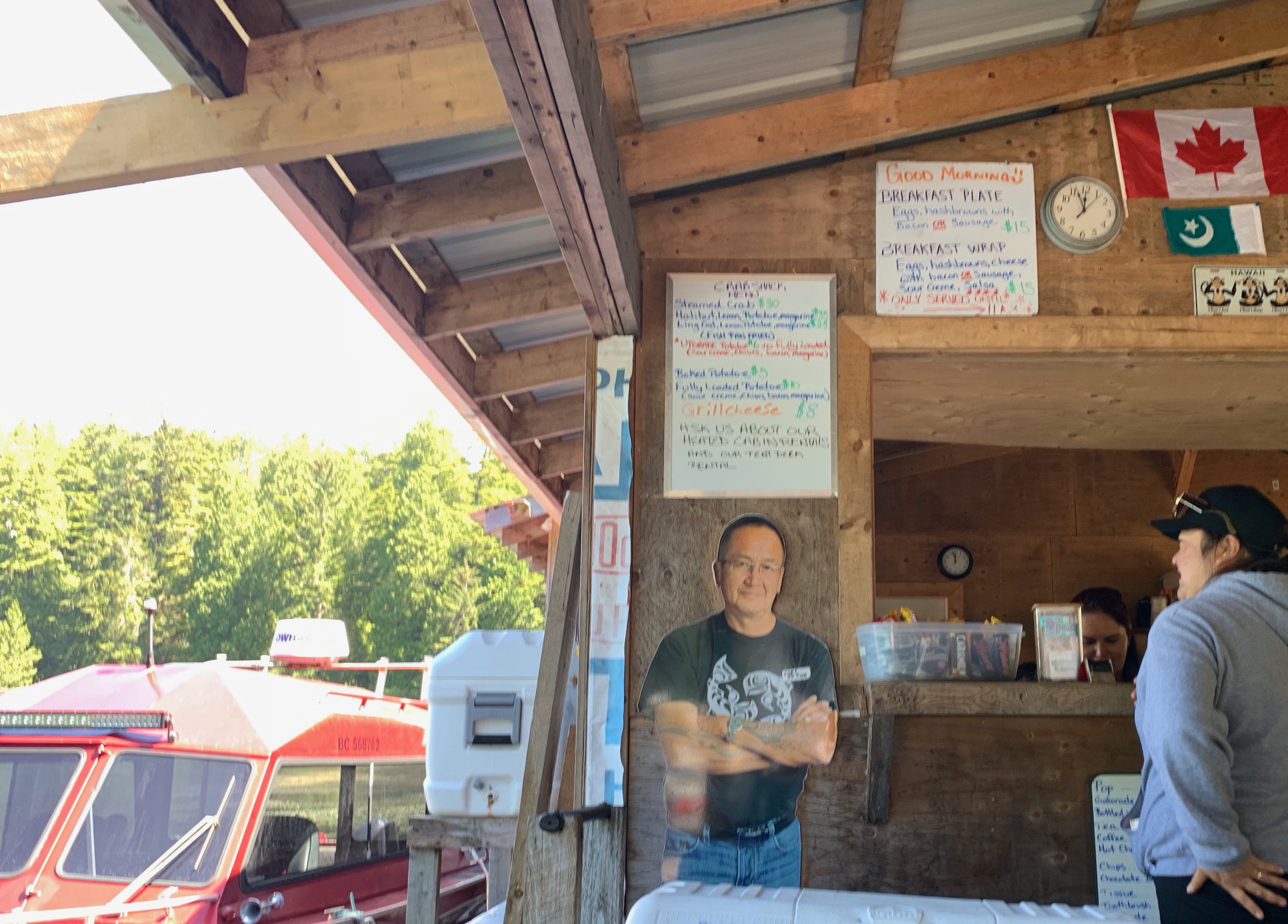
Menu, no salmon that day. 
Halibut, crab and baked potato.
Dinners had a little more variety. The first night we packed fresh food, some cured meats, cheese, and tortilla wraps. It was delicious after a long first day. Our second night we had canned salmon and crackers, we planned the heaviest meals to be at the beginning of the trip so we could ditch the weight sooner. The rest of our week consisted of delicious dehydrated chilli, beef stroganoff, and shepherds pie. I didn’t feel hungry or like I was missing out ever, it was all delicious.
We each packed our own snacks and treats. Lindsay and I both decided to pack one chocolate bar for every day as a treat, it was certainly something I looked forward to and I absolutely recommend it. We also packed various mixes for drinks such as Gatorade packets, hot chocolate, and dry soup mix.

Rehydrated chilli and rice 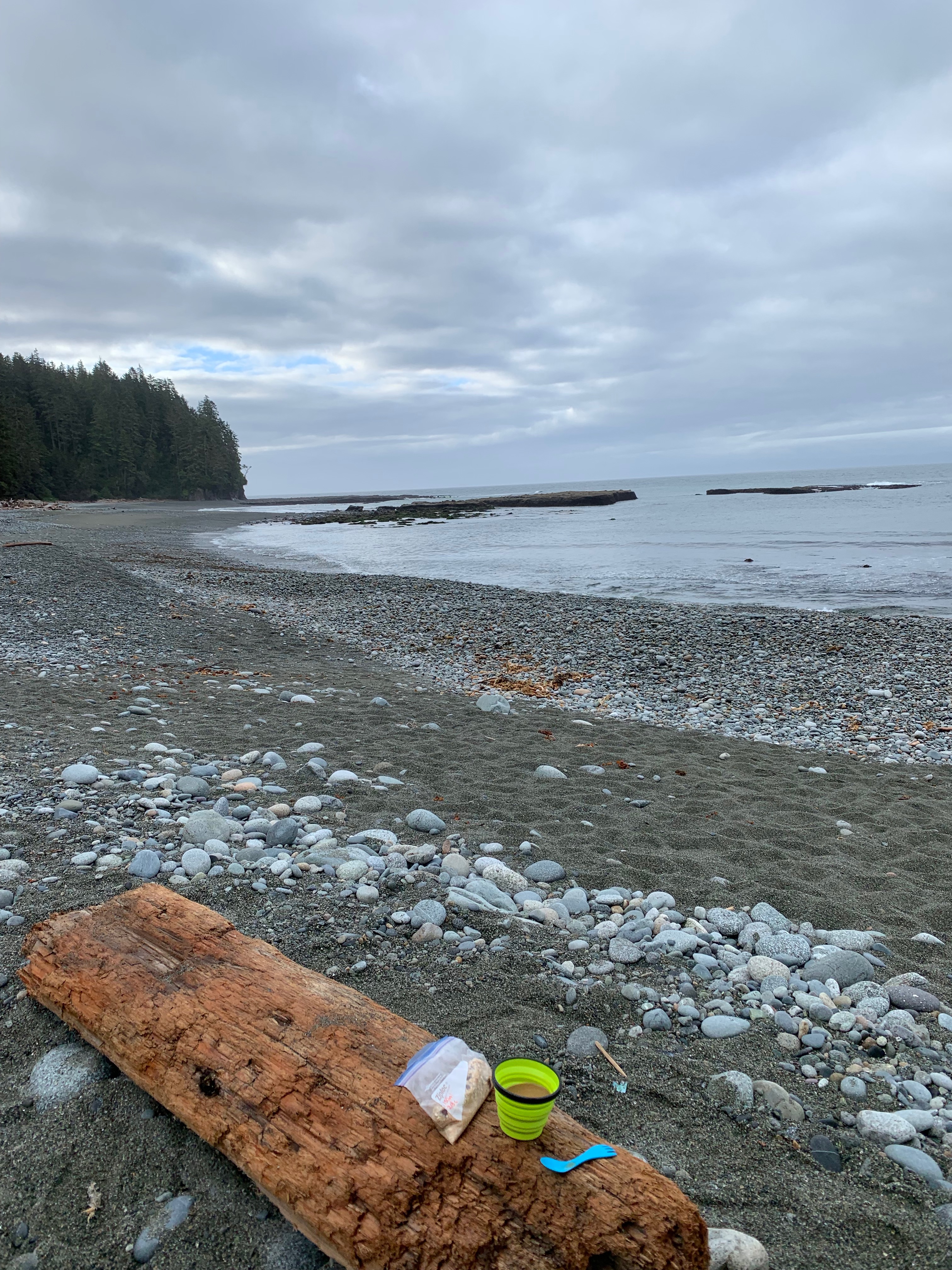
Oatmeal and instant coffee
Transportation/Logistics
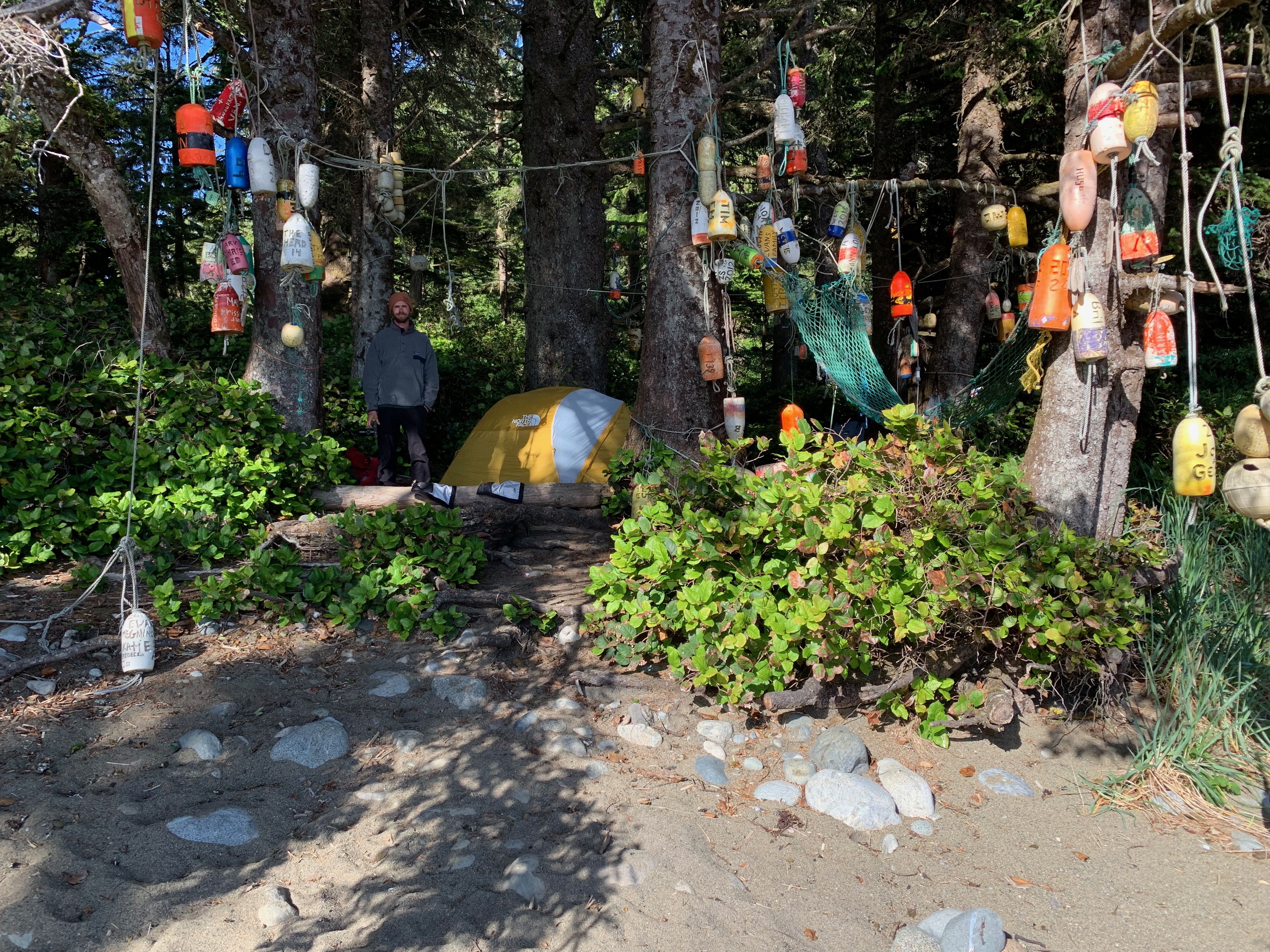
We hiked the trail South (Gordon River) to North (Pachena Bay). Because we planned to hike the trail in six days, we spent a night in Port Renfrew before we set out so we could do the Parks Canada trail orientation (mandatory) beforehand and then get an earlier start in the morning.
If you are travelling from Victoria you can book the West Coast Trail shuttle, as well as back from Bamfield after your hike. The road to Port Renfrew is very nice, but turn in to winding, bumpy logging roads as you continue to Bamfield. We were very glad we took the shuttle bus after (pack anti-nausea medication if you get motion sick). There is no cell reception in Port Renfrew and limited service on the way back from Bamfield.
The Parks Canada Orientation is at the trailhead office at 10am and 2pm daily. You’ll receive information about trail and wildlife conditions, as well as your trail permits that you need to show at each ferry crossing. You also need to purchase a parks pass if you do not already have one. If you plan on spending the night in Port Renfrew, ask the parks employees about Evan the ‘taxi’ man. If he is available, for $5 per person he will pick you up in Port Renfrew and drop you off at the ferry. Ferry crossings are at 8:45am, 11:30am, 12:30pm, 1:30pm, 2:30pm daily.
After orientation we spent the night at the Trailhead Resort ( 250-647-5468) in one of the Hiker Huts. They are basic cabins that sleep 3-4 people, but they are clean, heated, and you have access to flush toilets and showers. You are also right across from a nice breakfast place (we grabbed pastries and coffee in the morning) and right down the road from a pub.
We were picked up by Evan at our resort at 8:20am to make it in it time to catch the 8:45am ferry to the trailhead. We were very glad we got an early start.
On the last day of our hike we finished earlier in the day then expected. We had initially booked the West Coast Trail Shuttle ($90/person) to pick us up from Pachena Bay, but we took the taxi ($10/person, van fit 11 people) to Bamfield for a celebratory beer and sandwich before the shuttle arrived at 1:15pm to pick us up (they didn’t mind picking us up in Bamfield instead of Pachena Bay). We arrived back in Port Renfrew by 5:45pm where we got off, but the shuttle continued on to Victoria.

WCT Shuttle 
Nitinat ferry
Six Day Trail Plan
DAY ONE– 13KM, 7hrs (Gordon River Trail Head to Camper Bay)
KM 75 Not an easy start, ladders and switchbacks.
KM 70 Thrasher Cove exit, has lots of fresh water and a toilet, but it’s difficult getting in. (We skipped this, but we also missed the boulders and Owen Point)
KM 70 – 64 Inland and boardwalks, bridge down at KM 71
KM 66 Can be hiked to KM 65 on the beach if tides are below 2.4 meters (very nice)
KM 62 Camper Bay has a cable car, but you may be able to cross on the rocks if the water is low.
DAY TWO – 9KM. 5.5hrs (Camper to Walbran Creek)
KM 62 Described by passing hikers as an ‘obstacle course’. Roots, ladders, mud.
KM 58 Cullite Creek, highest ladders, and a cable car. Campsite is down the creek bed from the trail.
KM 56 Logan Creek. Ladders, cable cars, and a suspension bridge.
KM 53 Walbran Creek. Yay! You are now done the worst of the mud and ladders! Great place for swimming, beautiful campsite.
DAY TROIS – 11.5KM (Walbran Creek to Cribbs)
KM 52 Today will be a good day. Vancouver Point to Carmanah is on the beach, continue to Bonilla on the beach if tides are below 3m.
KM 48 Bonilla Point. Good campsite with a waterfall.
KM 46 Carmanah can be waded Jul, Aug, Sept. Take the cable car. Fresh water on beach.
KM 44 Chez Moniques (CLOSED) and light station. Carmanah Point to KM 43can be done by beach if the tides are below 2.1m.
KM 42 Cribbs creek, good water. Beach route to leave in the AM was faster, check tides.
(If you want to continue, KM 40 Campsite that isn’t used often, did have water but no bear cache.)
DAY FOUR – 17.5KM (Cribbs to Tsusiat Falls)
KM 40 to KM 37 on the beach if tides are below 2.1m, get back on the inland trail at Access Point B near KM 39. Limited to no water from KM 40 – KM 30.
KM 37 Do not drink the Cheewat River water.
KM 33 Nitinaht Narrows, delicious food. Must be crossed by boat (Ferry operates between (9:30 am and 4:30). Do not drink the water as it has a high salt content.
KM 29 to KM 25 Can be done by beach if the tides are okay, but the sand is not the best to walk on.
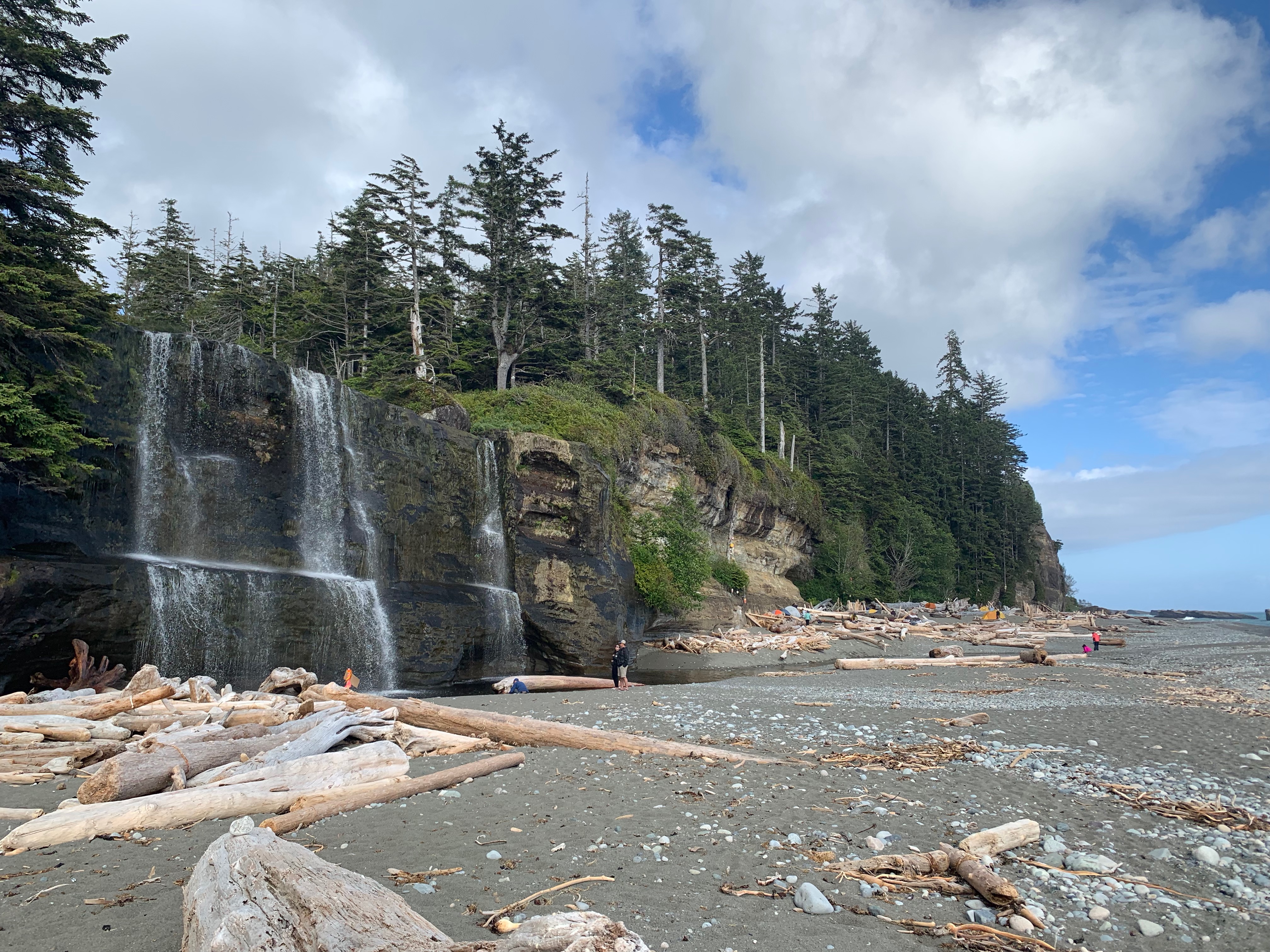
KM 25 Tsusiat Falls. Large waterfall, big campsite.
DAY FIVE – 13.25KM (Tsusiat Falls to Michigan)
KM 24Stay inland on the trail to Klanawa River and take the cable car when you get there, it is a fun one.
KM 23 to KM 21 is good to be on the beach.
KM 17 Tsocowis creek campsite, lots of water and firewood here. You can get to Orange Juice from here on the beach if tides are below 2.7m.
KM 14 Darling River campsite.
KM 14 Darling to Michigan is beach only.
KM 12 Michigan Creek, popular campsite.
DAY SIX OMG ALMOST DONE – 11.75KM, 3hrs (Michigan to Pachena Bay)
KM 10 Pachena Point light station, sign the guest book.
KM 9 (SINGLE DIGITS) Sea lion rock will be written on a bench, worth stopping for.
KM 1 Look for beach access by bridge 4 at Clonard Creek and you can beach walk and avoid the last ladders if tides are below 2.4m.
YOU DID IT
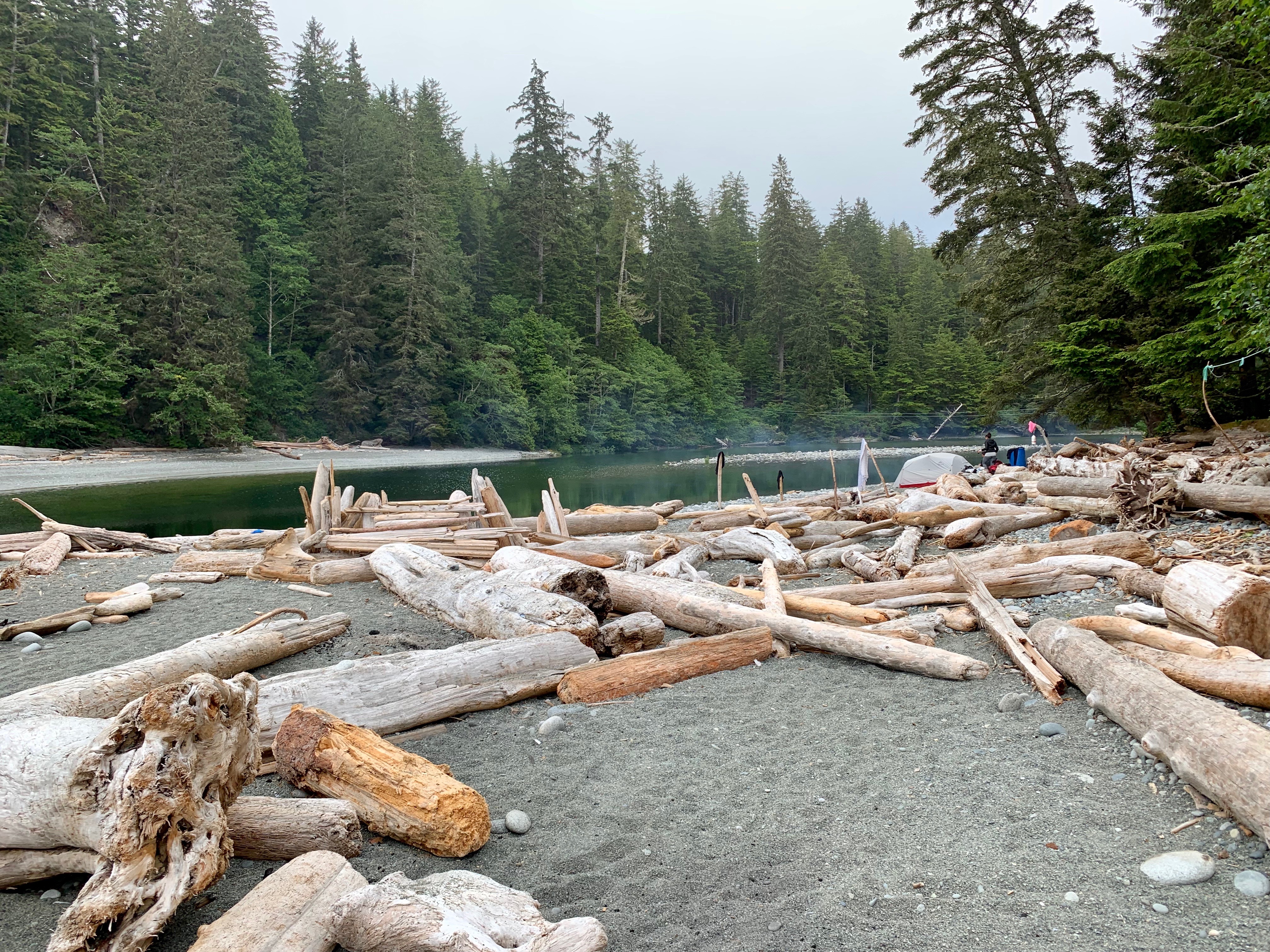
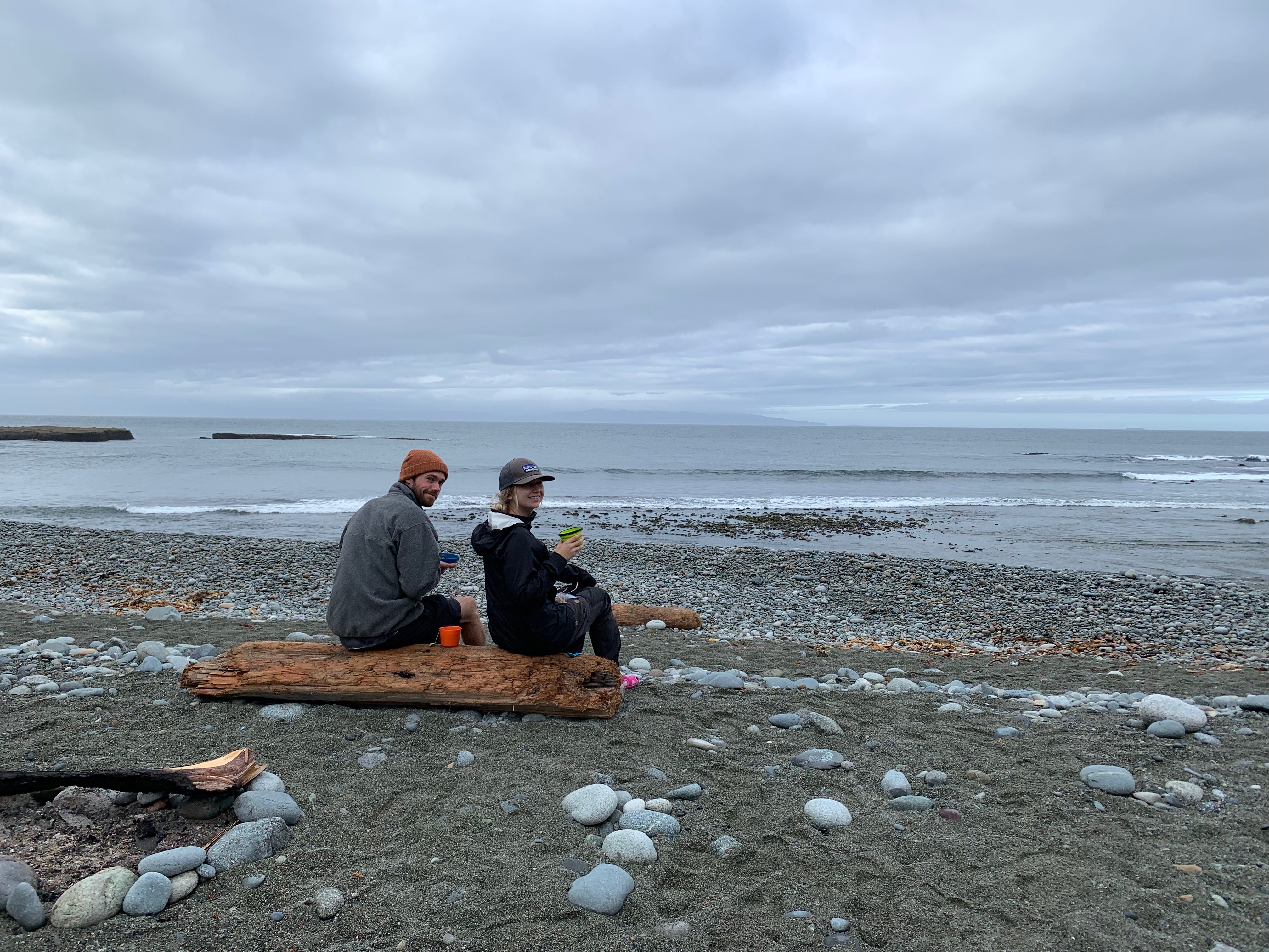
Campsites
Camper Bay
- Outhouse
- Bear cache
- Lots of water with a good spot to swim

Walbran Creek
- Outhouse
- Bear cache
- Lots of water, great swimming area
Cribbs Creek
- Outhouse
- Bear cache
- Lots of water, very small pool to swim

Tsusiat Falls
- Outhouse
- Bear cache
- Lots of water, great swimming spot

Michigan Creek
- Outhouse
- Bear cache
- Water, not much room to swim

Happy hiking!

You must be logged in to post a comment.